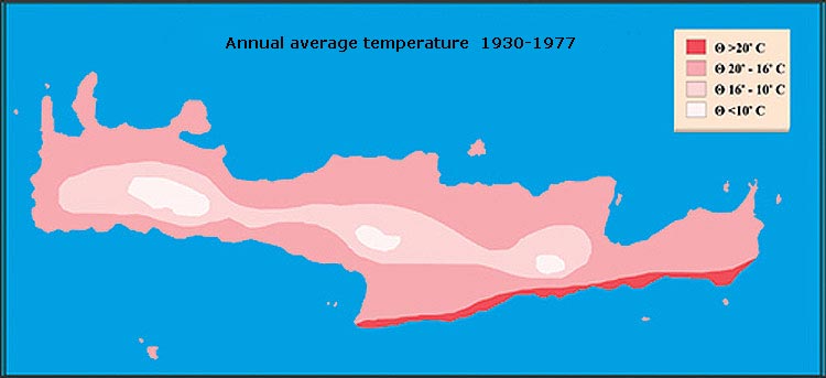
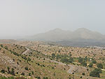
| Crete's
topography results in a
very varied climate.
The north coast has a typical
mediterranean climate,
and summer temperatures
are usually at a
comfortable level (30 C) due to the prevailing
northwest wind, the Meltemi. |
|
|
|
|
|
|
|
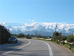 |
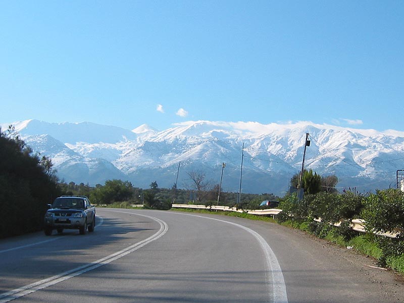
The
mountains,
which are often covered
with snow
from December to May, have quite different
vegetation belts. Here you
will meet a flora different
from that in the lowlands,
and the flowers
known from the lowlands,
bloom much later here. |
|
|
|
|
|
|
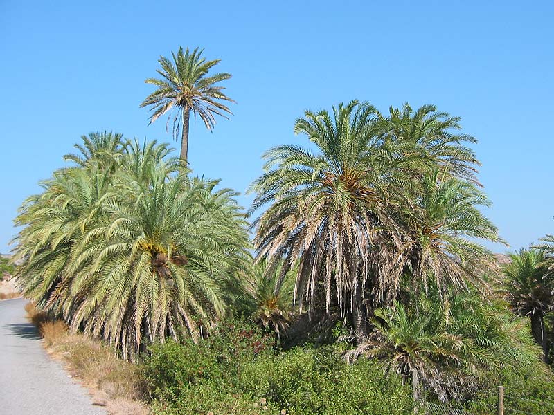
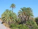
| At
the eastern part of the south
coast, the climate is subtropical. The
difference in temperature is clearly noticed when
you travel the few
miles between the
north coast and Ierapetra.
Also Sfakia, which
is sheltered by mountains,
has a much higher temperature
than the rest of the island. |
|
|
|
|
|
|
|
 |
Crete
is regularly hit by warm
winds from Sahara, the so-called
Livas, which often
transport dust and sand
from the desert. The sky
gets almost yellowish,
and the sand and
dust penetrates into
every crevice. Even worse
when it rains
at the same time, as
it makes the sand turn into a
sticky layer that covers everything. |
|
|
|
|
|
|
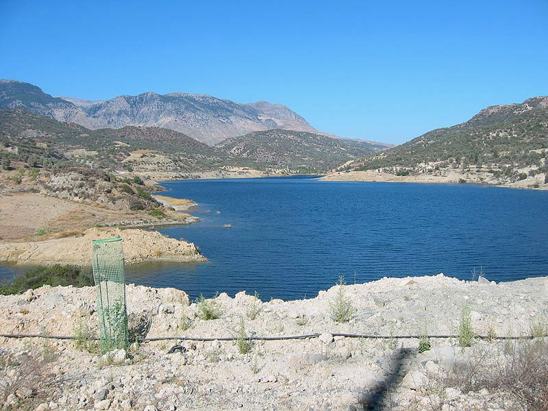
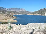
| Until
a few decades ago Crete had abundant water reserves, but in recent years,
changes in agricultural irrigation needs consume 81% of the available
water, and the increase in population and tourists' water consumption,
which accounts for 16%, has at several locations resulted in an acute
water shortage. There has therefore been built several large dams, which
serve as reservoirs for meltwater and rain and provide a constant supply
of water to the cities and the intensively cultivated areas. |
|
|
|
|
|
|
|
 |
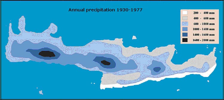
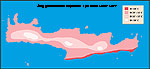
In
Crete
the northwest wind is the
most prevalent, and
as the great mountain
ranges act as a barrier, there is a
big difference between the amount of precipitation
that falls on the western and
eastern parts of the island. |
|
|
|
|
|
|
| Out
of the 7,5 billions m3 of percipitation that fall annually, the
62% evaporates before it
can be utilized. 2 billions
m3 penetrate into
the mountains' limestone
cliffs, which
are filled with cavities
and tunnels. Much of this
water is already being used
in the major springs
emanating around Psiloritis:
Zaros, Gergeri, Bali and
Almyros.
|
| Recent
research
shows that the Almyros
spring provides 2-40 m3/sec.
Most of the water comes from
the Nida plateau, and although
the distance, as the crow flies, is
23 km, it only takes the water nine
hours to reach the
spring!
|
|
|
|
|
|
|
|
|
|
|
|
|
|
|
|