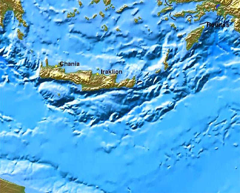
| 200
million years ago the African plate started to move towards Europe and
slid under den Eurasian plate, which ends south of Greece. By this came
into existence the deep Pliny
and Strabo trenches
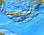
south of Crete, and the mountain ranges The Dinarides (Yugoslavia and the
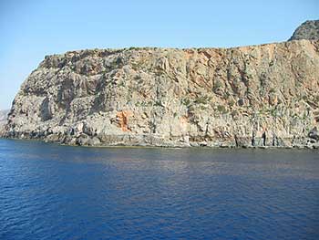
Pindos mountains in Greece) and The Hellenides (Peloponnese, Crete and
Rhodes) were pushed up.
|
|
|
|
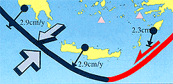 |
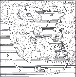
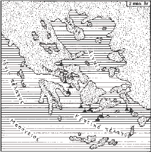
At
the same time - 23 million years ago - The Aegean Sea started to open and
expand at a relatively rapid pace. The movement forced Peloponnese towards
southwest and pushed Crete southwards. This caused the Eurasian plate with
Crete on it to slide over the African plate and in this way being raised
further. These movements are still in progress
-
at a geologically very high speed, as the African plate moves towards
northeast with a rate of 1,5 cm per year, and the Eurasian towards southwest at a rate of 2,9 cm per year.
|
|
|
|
|
| As
the African plate is forced deeper down, it is melting as a consequence of
the generally increased temperature in the centre of the earth. This gives
occasion for volcanic activity some hundred kilometres north of Crete,
where you find a number of now sleeping volcanoes from Methana to Nisyros.
|
| The
best known of these volcanoes is probably the island of Santorini, which
exploded 3500 years ago.
|
| To
Crete the worst consequence of the explosion was the up to 30 metres tall
sea waves - tsunamis - which arose and struck the north coast ruining
everything within their reach. This natural disaster was a key factor for
the end of the Minoan culture about 150 years later.
|
| The
Mediterranean Sea has not always been a sea. 8 million years ago the
opening at Gibraltar were closed by some mountain range foldings, and
because there were some landraising to the east too, the Mediterranean
became a lake. When the rivers that had their outflow into the sea could
not compensate for the evaporation, it dried out during a few thousand
years and became a big salt desert med a few green oases around the
riverdeltas.
|
| 5
million years ago the "dam" at Gibraltar broke down and the
water poured in and filled up the Mediterranean, with the result that the
water level in the oceans was lowered 10 cm. The flowing in of water from
the Atlantic Ocean is still continuing, because the evaporation is bigger
than the amount of water the rivers supply to the Mediterranean Sea.
|
|
|
|
|