| Ports
|
|
|
|
|
| Crete
has five ports with ferries: Kissamos, Souda (Chania), Rethymno, Iraklio
and Sitia, all placed on the nothern coast. |
|
|
|
|
|
|
| Airports |
|
|
|
|
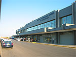
| Crete
has two international airports, one in Iraklio (Nikos Kazantzakis) and
one in Chania (Daskalogiannis). Furthermore there is a domestic airport
at Sitia. |
|
|
|
|
|
|
|
| Buses |
|
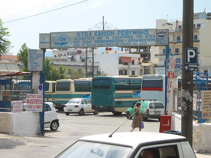
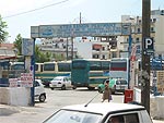
| In addition to local
buses there is an excellent network
of supra-regional buses
(KTEL). They are divided
into two sections: KTEL Chania-Rethymno
S.A., serving Western Crete
(until Iraklio) and
KTEL Heraklion Lasithi
S.A., which serves Central
and Eastern Crete. From the head offices
buses are going to the villages of Southern Crete. |
|
|
|
|
|
|
|
| Roads
and pathways
|
|
|
|
| Along the Northern
coast the National Road (Ethniki
Odos) leads from Kissamos
in west to Sitia in
east.
|
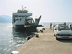
| Due to the nature of
the landscape
it is impossible to build
roads along the Southern coast, so roads
lead from the Nothern coast to the rather small cities of
the Southern coast. Should
you e.g. go from Paleochora
to Sfakia, you can take
advantage of the local
ferries Samaria and
Daskalogiannis. |
|
|
|
|
| From Rethymno
an excellent road leads
down to Spili and Tymbaki
and onwards to the Messara
plain until Viannos. From
here the road becomes narrower
towards Ierapetra.
|
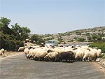 |
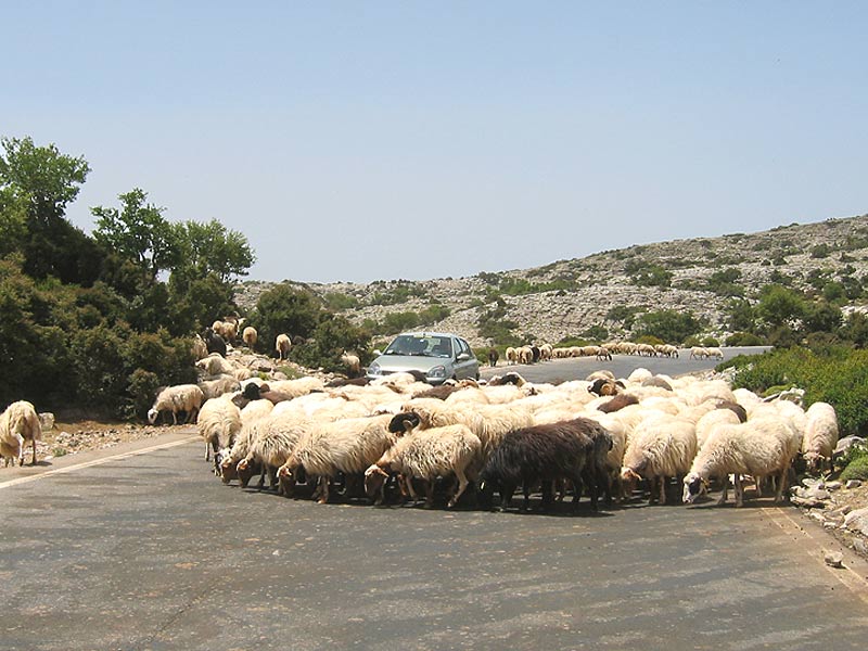
There are of
course a myriad of local roads,
which are generally in good condition. However,
one should always be
aware
of potholes caused
by falling rocks -
and large flocks
of sheep, now and then crossing
the road. Still
more
roads are being widened and
paved, so you will almost only meet dirt roads
in deserted areas and
in the mountains. |
|
|
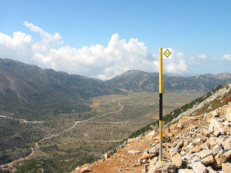
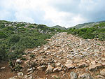
| Before the car became
a common sight, almost all transport was
made with mules or
donkeys, who deftly
managed the trails in the
rugged terrain. The
expanded trail system (kalderimia) is
still used, especially due to the E4
- a network of scenic
routes all over the island. |
|
|
|
|
 |
Although the
trails are clearly marked with
yellow E4 signs,
it is recommended to bring a
good map. |
| Many of the new cards
are fairly large scaled,
but unfortunately contain
some errors concerning
roads and city names. |
| For trekking
are the rather new (2006/07)
and detailed maps from
Anavasi (1: 25,000).
Until now seven maps have been released,
covering the Lefka Ori,
Psiloritis, Mountain Dikti, Samaria and Zakros. |
|
|
|
|
|
|
|
|
|
|
|
|
|
|
|