After a steep descent with quite a lot of loose stones you get down in the last part of the gorge,
Shortly afterward you get a glimpse of the sea,
|
Sights - Chania Prefecture |
|
|
Aradena gorge |
|
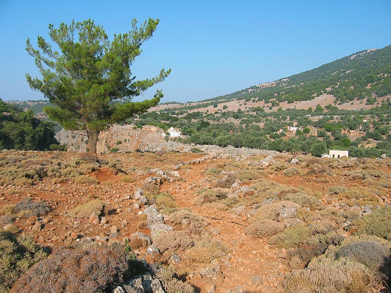
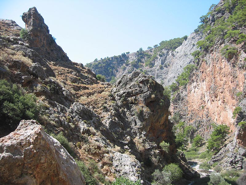
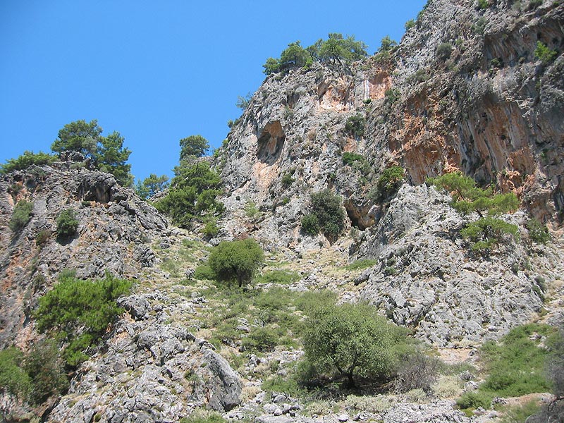
From the almost uninhabited village Aradena the impressive gorge of Aradena leads the 4,5 km to the sea. It does not seem long, but still you should calculate at least a couple of hours for the trip – and maybe even longer in order to enjoy the magnificent scenery. |
|
||
|
|
||||
|
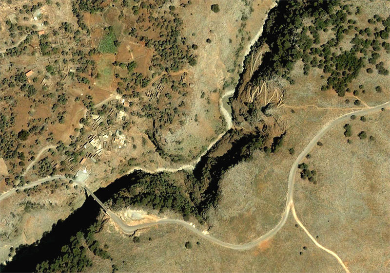
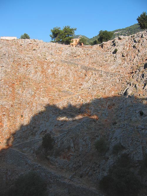
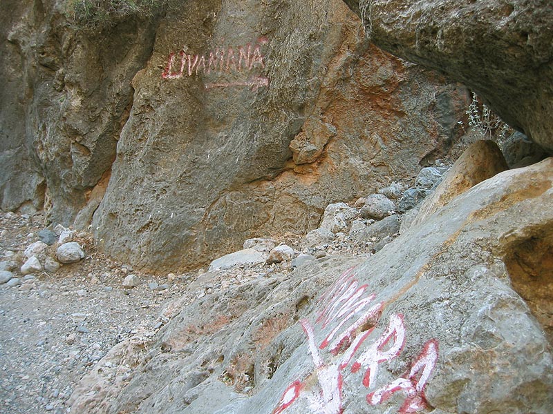
Before reaching the bridge over the gap – and a little before the road leading to Livaniana – you see a dirth path on your right that leads to a kalderimi that zigzags down the canyon. Here in the altitude of almost 600 meters there is an excellent view to the village of Aradena with the old (14-15. century) church of the Archangel Michael. |
|
||
|
|
||||
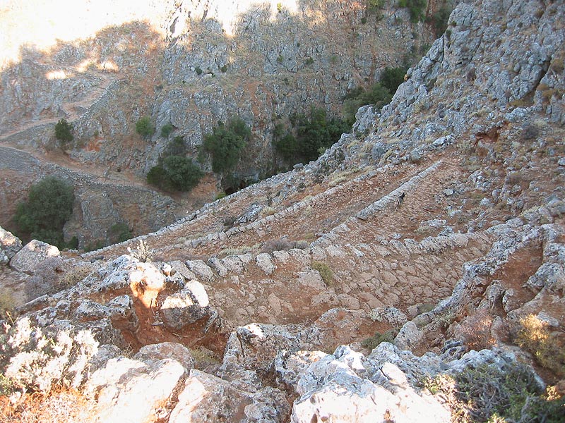
| You can also choose to descend into the canyon from the other side, where a similarly winding path leads down to the bottom. |
|
|||
|
|
||||
|
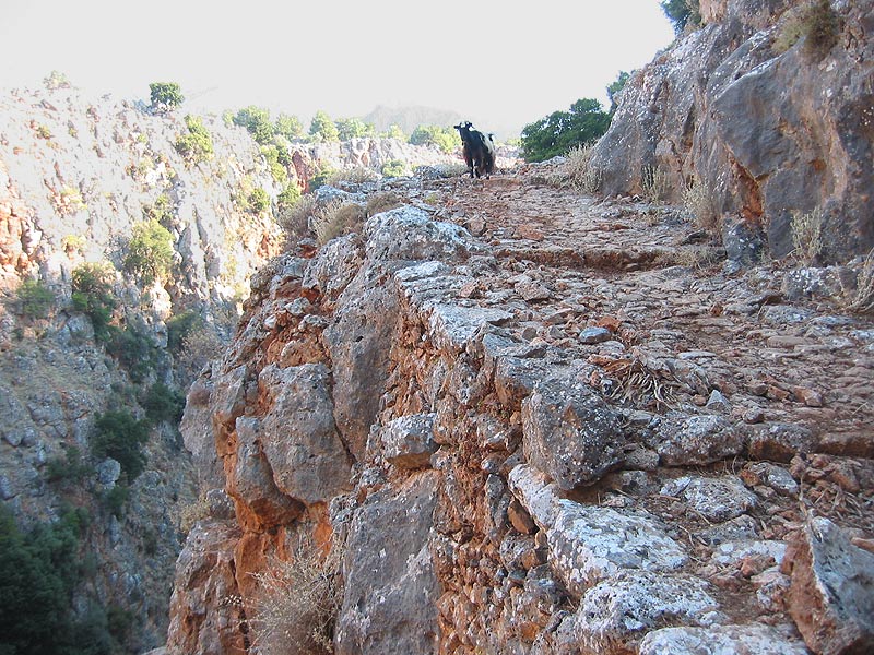
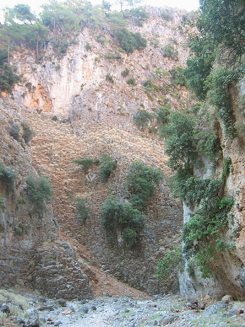
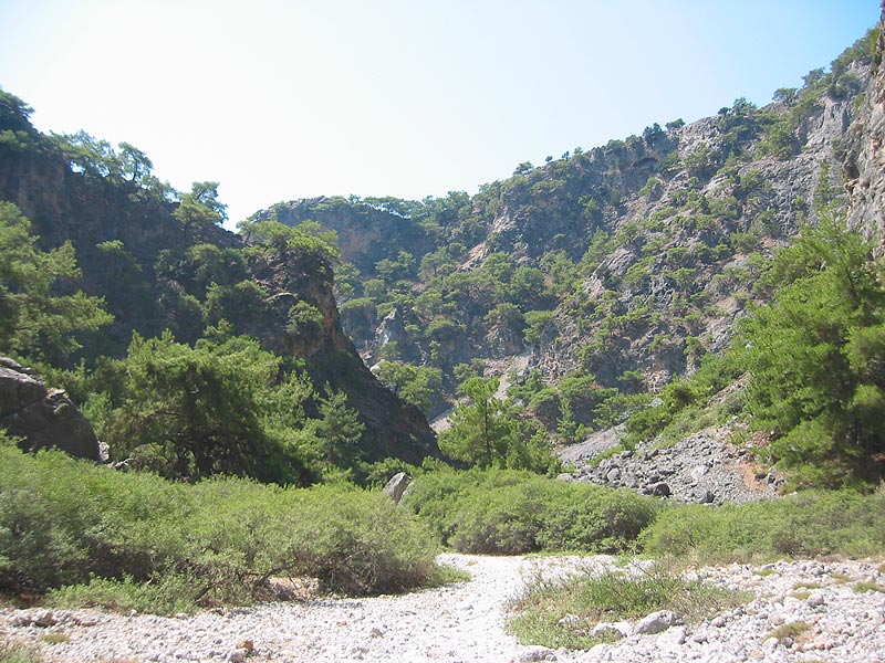
After having forced the kalderimi that winds along the eastern side of the canyon and having greeted a large number of goats, you reach the bottom, 87 m below the starting point. |
|
||
|
|
||||
|
The distance to the bridge seems almost horizontal, but as a matter of fact there is a difference of 50 meters. |
|
||
|
|
||||
|
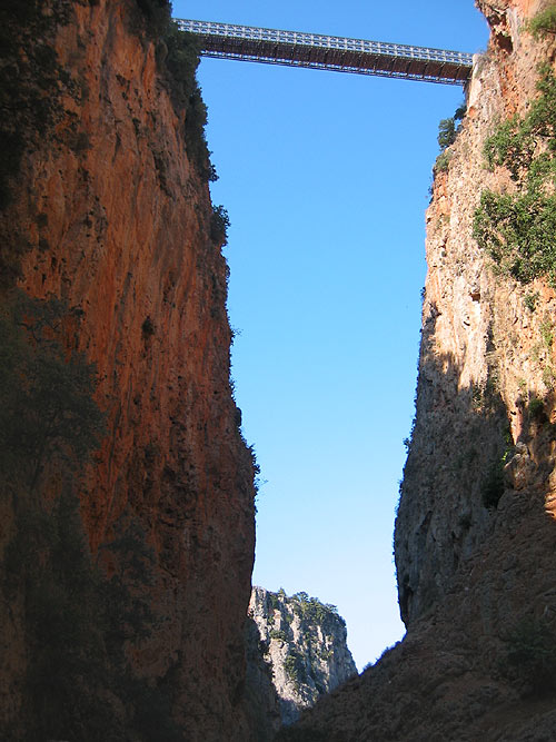
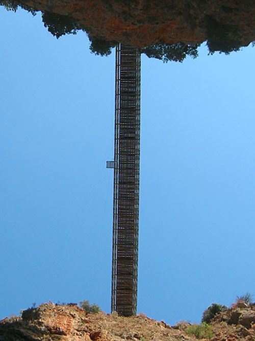
138 m above your head you see the 84 m long Aradena bridge – a so-called Bailey bridge, which originally is a military bridge strong enough to let tanks and other military vehicles pass. The bridge at Aradena is actually the world's highest placed Bailey bridge. |
|
||
|
|
||||
|
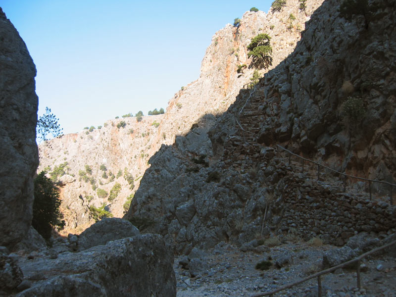
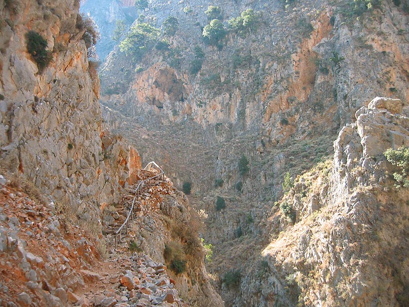
After having passed through a relatively open part – and making sure that you do not get a bungy jumper in the head, because there is bungee jumping from the bridge in weekends during summer – you reach some stone stairs on your right. |
|
||
|
|
||||
| There are signs that urge you to follow those. Even if the path is poor and you have to look carefully where you put your feet, you should stop and enjoy the magnificent spectacle. | ||||
|
|
||||
|
|
|
||
|
|
||||
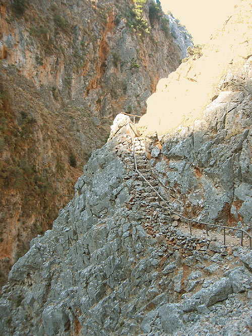
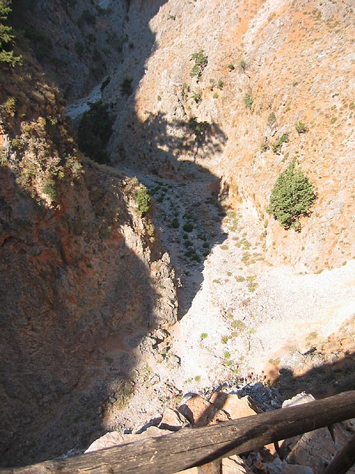
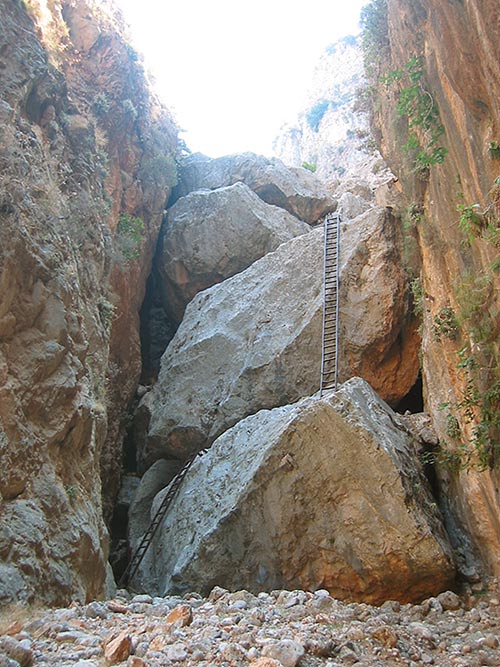
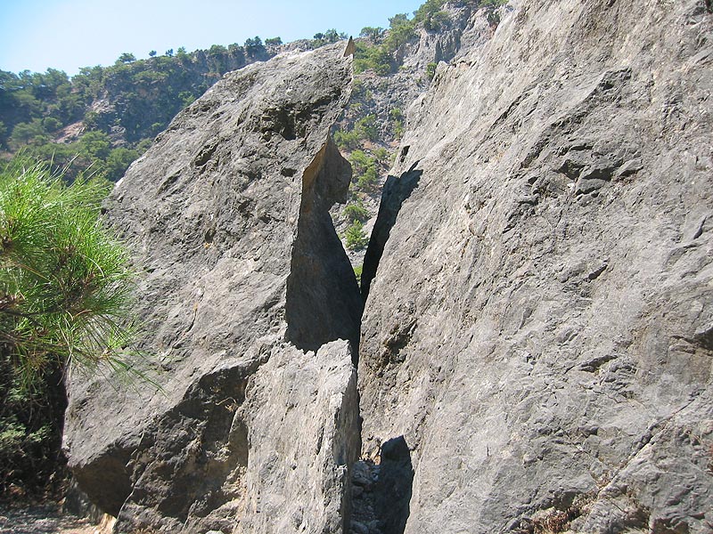
| On the other side of the stairs you can easily understand why you were encouraged to follow the stone stairs. The alternative would have been to climb down two latters, which are affixed to some 10 m massive rocks that block the canyon. |
|
|||
|
|
||||
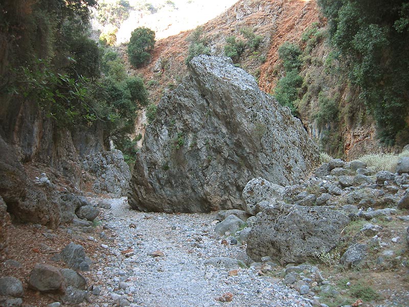
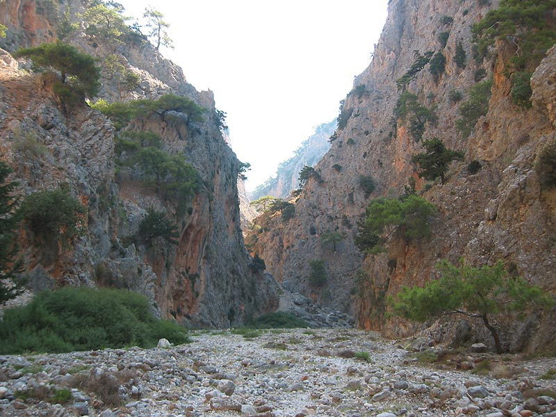
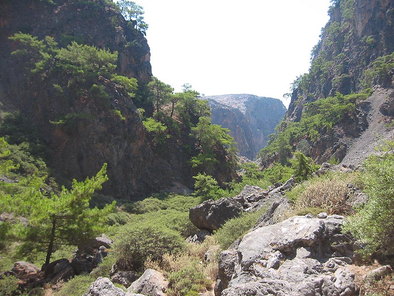
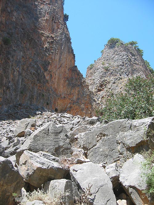
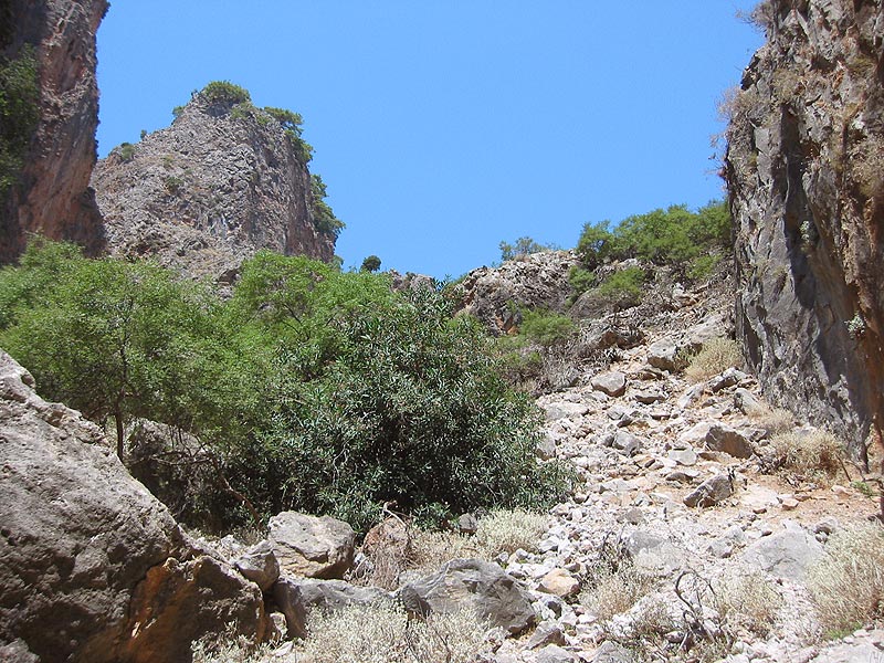
| The trip continues through areas more or less passable, | ||||
|
|
||||
|
|
|
||
|
|
||||
| until you reach a few signs that show the way to respectively Livaniana and Marmara. Follow the direction towards Marmara. |
|
|||
|
|
||||
|
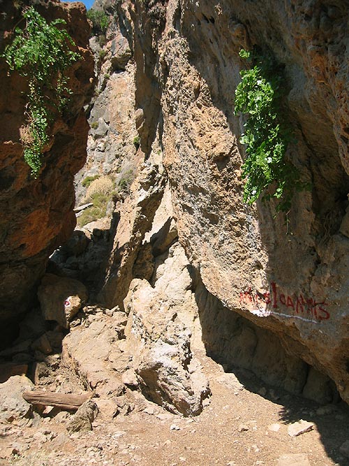
Shortly afterwards is another sign showing the way to the village of Agios Ioannis, but also here you should follow the direction to Marmara. |
|
||
|
|
||||
|
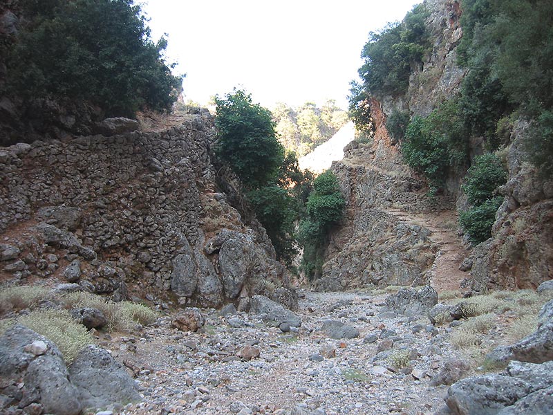
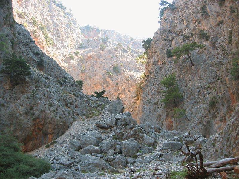
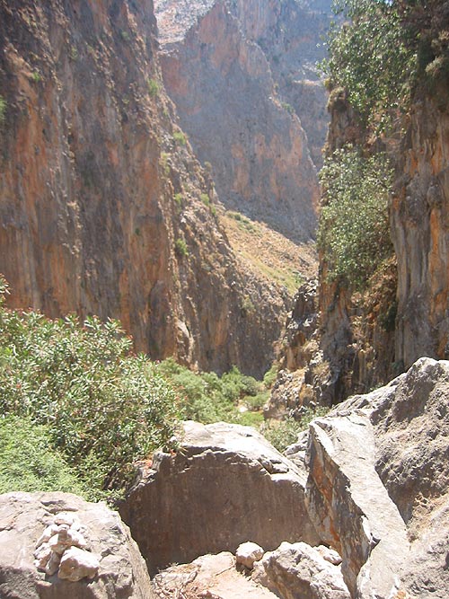
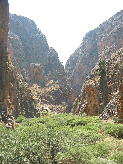
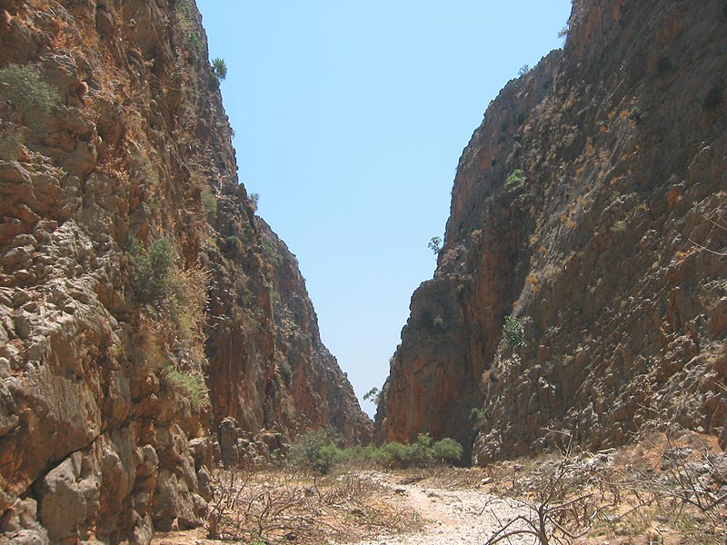
From this point the canyon gets wider, but at some places with a very dense vegetation, which makes the walk difficult. Not because of the bushes, but because there are some places too steep to pass, and it is hard to locate them in the bushes. |
|
||
|
|
||||
|
|
|
||
|
|
||||
|
|
|
||
|
|
||||
|
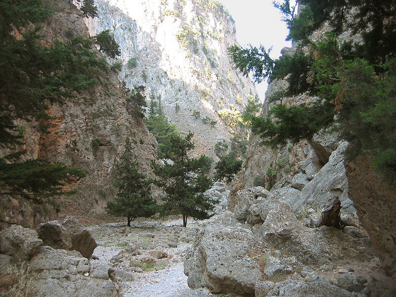
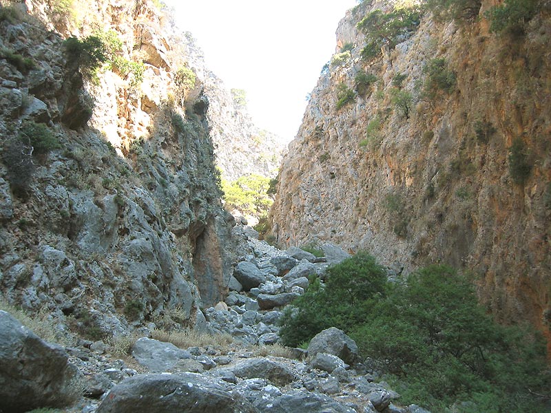
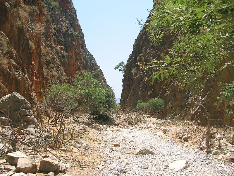
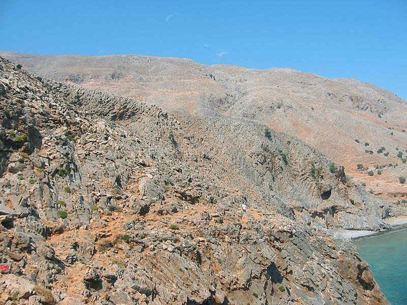
After a steep descent with quite a lot of loose stones you get down in the last part of the gorge, |
|
|||
|
where the path is entirely plane. | |||
|
Shortly afterward you get a glimpse of the sea, |
|
|||
|
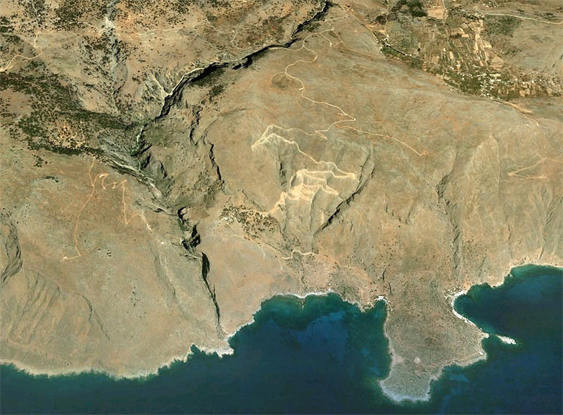
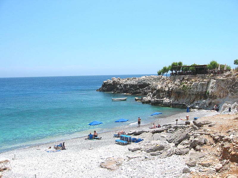
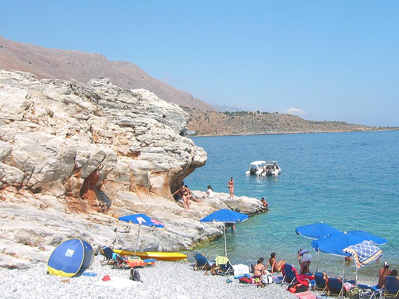
and suddenly you find yourself at the small beach of Dialeskari, | |||
| also known as Marmara because of the marble, especially visible in the eastern side of the beach. |
|
|||
|
|
||||
|
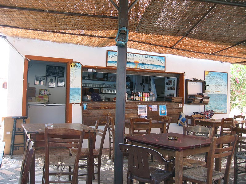
Above the beach is located a small tavern, where you can relax before the last part of the trip to Lykos, Foinikas or Loutro. |
|
||
|
|